
磐梯町 topographic map
Interactive map
Click on the map to display elevation.
About this map
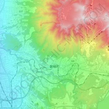
Name: 磐梯町 topographic map, elevation, terrain.
Location: 磐梯町, 耶麻郡, Präfektur Fukushima, 969-3301, Japan (37.53380 139.92729 37.61501 140.07261)
Average elevation: 563 m
Minimum elevation: 183 m
Maximum elevation: 1,375 m