
Royal Oak topographic map
Interactive map
Click on the map to display elevation.
About this map
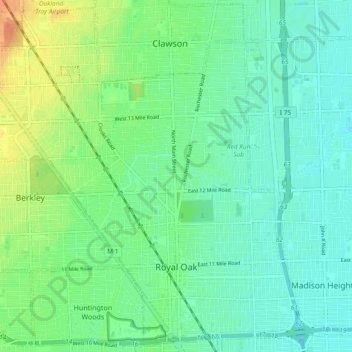
Name: Royal Oak topographic map, elevation, terrain.
Location: Royal Oak, Oakland County, Michigan, United States (42.47418 -83.20440 42.54032 -83.11074)
Average elevation: 203 m
Minimum elevation: 191 m
Maximum elevation: 229 m