
Maakurathu topographic map
Interactive map
Click on the map to display elevation.
About this map
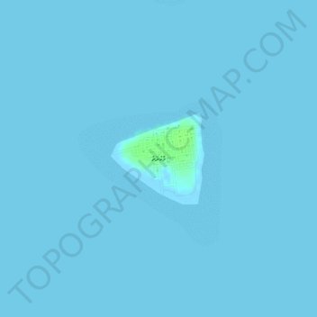
Name: Maakurathu topographic map, elevation, terrain.
Location: Maakurathu, Maalhosmadulu Uthuruburi, Maldives (5.60230 73.03932 5.61006 73.04735)
Average elevation: 0 m
Minimum elevation: -1 m
Maximum elevation: 9 m