
Hägglingen topographic map
Interactive map
Click on the map to display elevation.
About this map
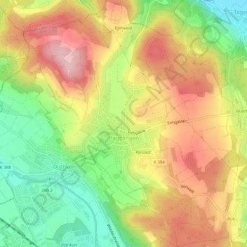
Name: Hägglingen topographic map, elevation, terrain.
Location: Hägglingen, Bezirk Bremgarten, Aargau, 5607, Schweiz (47.37296 8.23296 47.40649 8.28069)
Average elevation: 487 m
Minimum elevation: 377 m
Maximum elevation: 593 m