
Highlands County topographic map
Interactive map
Click on the map to display elevation.
About this map
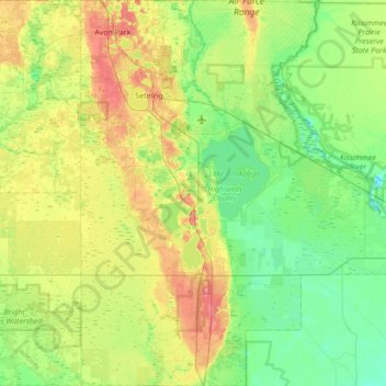
Name: Highlands County topographic map, elevation, terrain.
Location: Highlands County, Flórida, Estados Unidos da América (27.03229 -81.56409 27.64665 -80.94181)
Average elevation: 22 m
Minimum elevation: 3 m
Maximum elevation: 62 m