
Lloreda topographic map
Interactive map
Click on the map to display elevation.
About this map
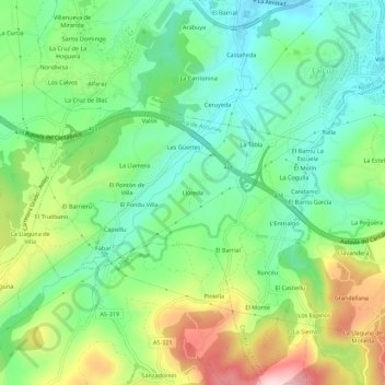
Name: Lloreda topographic map, elevation, terrain.
Location: Lloreda, Asturias, 33402, España (43.50536 -5.95042 43.54536 -5.91042)
Average elevation: 111 m
Minimum elevation: 12 m
Maximum elevation: 296 m