
Knott County topographic map
Interactive map
Click on the map to display elevation.
About this map
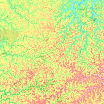
Name: Knott County topographic map, elevation, terrain.
Location: Knott County, Kentucky, Vereinigte Staaten von Amerika (37.17245 -83.13484 37.52606 -82.71095)
Average elevation: 412 m
Minimum elevation: 198 m
Maximum elevation: 717 m