
Gangnani topographic map
Interactive map
Click on the map to display elevation.
About this map
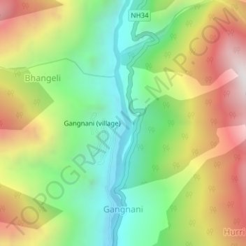
Name: Gangnani topographic map, elevation, terrain.
Location: Gangnani, Uttarkashi, Uttarakhand, India (30.90169 78.67502 30.92312 78.68319)
Average elevation: 2,380 m
Minimum elevation: 1,865 m
Maximum elevation: 3,081 m