
Upton topographic map
Interactive map
Click on the map to display elevation.
About this map
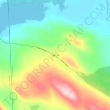
Name: Upton topographic map, elevation, terrain.
Location: Upton, Oxford County, Maine, USA (44.67422 -71.03063 44.71422 -70.99063)
Average elevation: 486 m
Minimum elevation: 379 m
Maximum elevation: 667 m