
Thank you for supporting this site ❤️
Make a donation
Make a donation
Kumarghat topographic map
Click on the map to display elevation.
Thank you for supporting this site ❤️
Make a donation
Make a donation
About this map
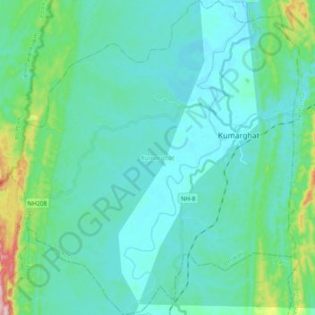
Name: Kumarghat topographic map, elevation, terrain.
Location: Kumarghat, Unokoti, Tripura, India (24.06755 91.90787 24.23112 92.07281)
Average elevation: 75 m
Minimum elevation: 27 m
Maximum elevation: 339 m
Thank you for supporting this site ❤️
Make a donation
Make a donation