
Tushura topographic map
Interactive map
Click on the map to display elevation.
About this map
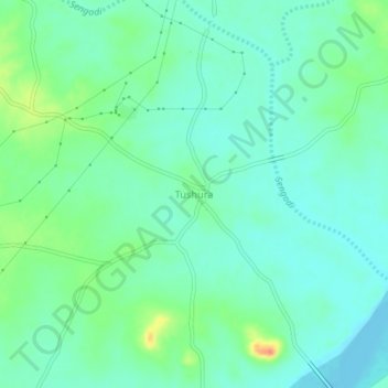
Name: Tushura topographic map, elevation, terrain.
Location: Tushura, Balangir, Odisha, 767030, India (20.46817 83.46382 20.50817 83.50382)
Average elevation: 157 m
Minimum elevation: 143 m
Maximum elevation: 195 m