
Puga topographic map
Interactive map
Click on the map to display elevation.
About this map
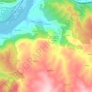
Name: Puga topographic map, elevation, terrain.
Location: Puga, Toén, Orense, Galicia, España (42.29515 -8.02332 42.33558 -7.97067)
Average elevation: 262 m
Minimum elevation: 88 m
Maximum elevation: 432 m