
Thank you for supporting this site ❤️
Make a donation
Make a donation
Bristol topographic map
Click on the map to display elevation.
Thank you for supporting this site ❤️
Make a donation
Make a donation
About this map
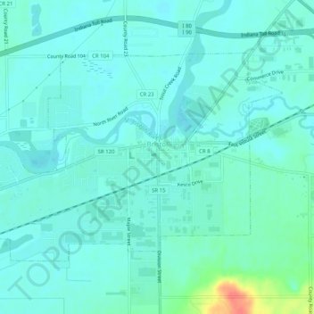
Name: Bristol topographic map, elevation, terrain.
Location: Bristol, Elkhart County, Indiana, 46507, United States (41.70737 -85.84794 41.73242 -85.79733)
Average elevation: 237 m
Minimum elevation: 227 m
Maximum elevation: 281 m
Thank you for supporting this site ❤️
Make a donation
Make a donation