
Rührberg topographic map
Interactive map
Click on the map to display elevation.
About this map
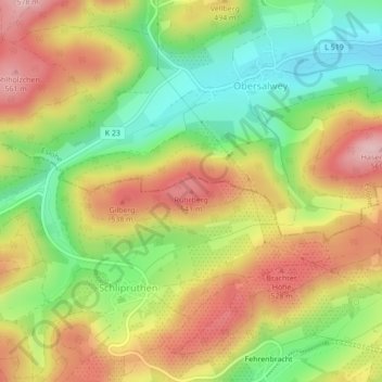
Name: Rührberg topographic map, elevation, terrain.
Location: Rührberg, Finnentrop, Kreis Olpe, Noordrijn-Westfalen, Duitsland (51.24033 8.09101 51.24043 8.09111)
Average elevation: 458 m
Minimum elevation: 352 m
Maximum elevation: 567 m
Other topographic maps
Click on a map to view its topography, its elevation and its terrain.
Schliprüthen
Duitsland > Noordrijn-Westfalen > Kreis Olpe > Finnentrop
Schliprüthen, Finnentrop, Kreis Olpe, Noordrijn-Westfalen, 57413, Duitsland
Average elevation: 472 m