
Pultberg topographic map
Interactive map
Click on the map to display elevation.
About this map
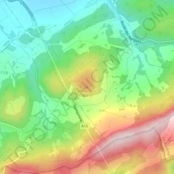
Name: Pultberg topographic map, elevation, terrain.
Location: Pultberg, Cornol, Bezirk Pruntrut, Jura, 2952, Schweiz (47.39157 7.16122 47.39167 7.16132)
Average elevation: 668 m
Minimum elevation: 500 m
Maximum elevation: 918 m
Auf dem Mont Terri befand sich eine urgeschichtliche Höhensiedlung, das keltische Oppidum auf dem Mont Terri.