
McGaffey topographic map
Interactive map
Click on the map to display elevation.
About this map
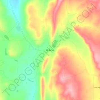
Name: McGaffey topographic map, elevation, terrain.
Location: McGaffey, McKinley County, New Mexico, United States (35.35530 -108.53563 35.39530 -108.49563)
Average elevation: 2,412 m
Minimum elevation: 2,336 m
Maximum elevation: 2,478 m