
Lamalonga topographic map
Interactive map
Click on the map to display elevation.
About this map
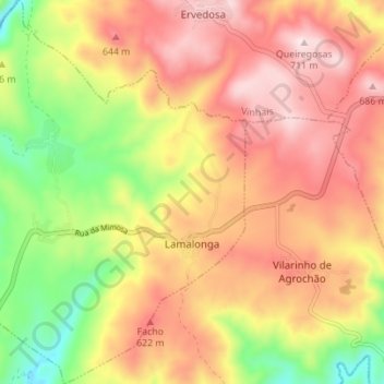
Name: Lamalonga topographic map, elevation, terrain.
Location: Lamalonga, Distrito de Bragança, Norte, Portugal (41.65960 -7.12956 41.71131 -7.06955)
Average elevation: 523 m
Minimum elevation: 296 m
Maximum elevation: 704 m