
Nagarhole National Park topographic map
Interactive map
Click on the map to display elevation.
About this map
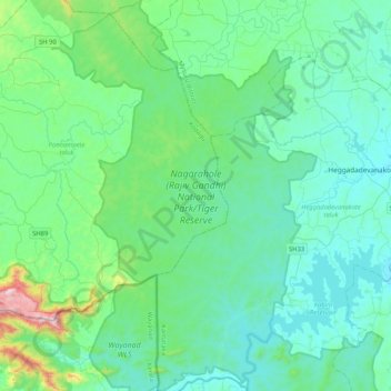
Name: Nagarhole National Park topographic map, elevation, terrain.
Average elevation: 808 m
Minimum elevation: 674 m
Maximum elevation: 1,565 m
Other topographic maps
Click on a map to view its topography, its elevation and its terrain.
Kutta
India > Karnataka > Ponnampete taluk
Kutta, Ponnampete taluk, Kodagu District, Karnataka, 571250, India
Average elevation: 896 m