
Thank you for supporting this site ❤️
Make a donation
Make a donation
Kodukulanji topographic map
Click on the map to display elevation.
Thank you for supporting this site ❤️
Make a donation
Make a donation
About this map
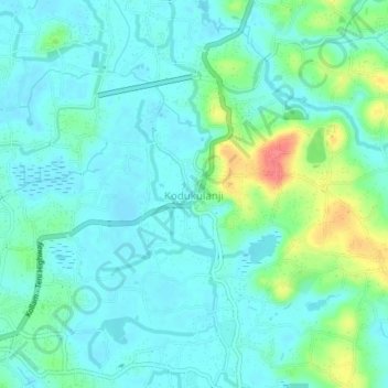
Name: Kodukulanji topographic map, elevation, terrain.
Location: Kodukulanji, Chengannur, Alappuzha, Kerala, 689508, India (9.25072 76.59206 9.29072 76.63206)
Average elevation: 18 m
Minimum elevation: 2 m
Maximum elevation: 69 m
Thank you for supporting this site ❤️
Make a donation
Make a donation