
Cañadas topographic map
Interactive map
Click on the map to display elevation.
About this map
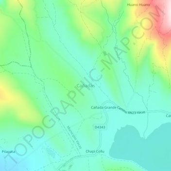
Name: Cañadas topographic map, elevation, terrain.
Location: Cañadas, Municipio Vacas, Arani, Cochabamba, Bolivia (-17.54689 -65.68501 -17.50689 -65.64501)
Average elevation: 3,478 m
Minimum elevation: 3,371 m
Maximum elevation: 3,775 m