
Treskog topographic map
Interactive map
Click on the map to display elevation.
About this map
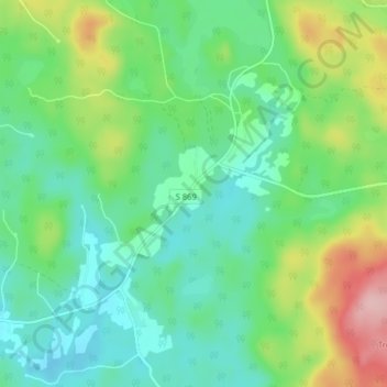
Name: Treskog topographic map, elevation, terrain.
Location: Treskog, Arvika kommun, Värmlands län, Zweden (59.86505 12.60708 59.90505 12.64708)
Average elevation: 204 m
Minimum elevation: 156 m
Maximum elevation: 320 m