
El Carmen de Chucurí topographic map
Interactive map
Click on the map to display elevation.
About this map
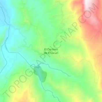
Name: El Carmen de Chucurí topographic map, elevation, terrain.
Location: El Carmen de Chucurí, El Carmen, Santander, Colombia (6.65869 -73.55157 6.73869 -73.47157)
Average elevation: 788 m
Minimum elevation: 293 m
Maximum elevation: 1,792 m