
Dargaz topographic map
Interactive map
Click on the map to display elevation.
About this map
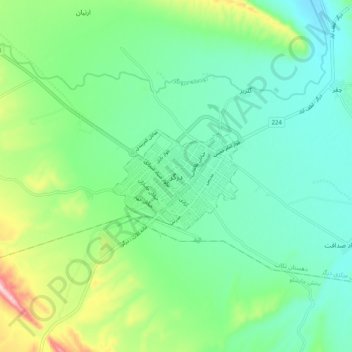
Name: Dargaz topographic map, elevation, terrain.
Location: Dargaz, بخش مرکزی درگز, Dargaz County, Razavi Khorasan, Iran (37.40703 59.06649 37.48703 59.14649)
Average elevation: 497 m
Minimum elevation: 418 m
Maximum elevation: 715 m
Climate map of Iran. Dargaz is located in the Mediterranean region with spring rain. Dargaz is located in the north of Khorasan province, which is located between 29.58 to 37.59 longitude and 43.37 to 55.36 latitude. Dargaz is located 123 km from Quchan and 258 km from Mashhad. Its altitude is 480 meters above sea level.