
Drone topographic map
Interactive map
Click on the map to display elevation.
About this map
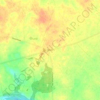
Name: Drone topographic map, elevation, terrain.
Location: Drone, Burke County, Georgia, USA (33.03543 -82.17873 33.07543 -82.13873)
Average elevation: 97 m
Minimum elevation: 71 m
Maximum elevation: 111 m