
Castro topographic map
Interactive map
Click on the map to display elevation.
About this map
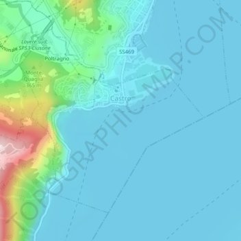
Name: Castro topographic map, elevation, terrain.
Location: Castro, BG, Lombardy, 24063, Italy (45.79015 10.05077 45.81074 10.08041)
Average elevation: 235 m
Minimum elevation: 181 m
Maximum elevation: 565 m