
Welchland topographic map
Interactive map
Click on the map to display elevation.
About this map
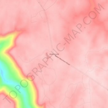
Name: Welchland topographic map, elevation, terrain.
Location: Welchland, Van Buren County, Tennessee, United States (35.62784 -85.53664 35.66784 -85.49664)
Average elevation: 542 m
Minimum elevation: 322 m
Maximum elevation: 581 m
Other topographic maps
Click on a map to view its topography, its elevation and its terrain.
Spencer
United States > Tennessee > Van Buren County
Spencer, Van Buren County, Middle Tennessee, Tennessee, 38585, United States
Average elevation: 496 m
Fall Creek Falls State Park
United States > Tennessee > Van Buren County
Fall Creek Falls State Park, Van Buren County, Tennessee, United States
Average elevation: 524 m