
Nehar topographic map
Interactive map
Click on the map to display elevation.
About this map
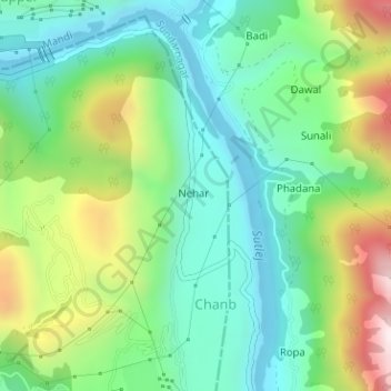
Name: Nehar topographic map, elevation, terrain.
Location: Nehar, Mandi, Himachal Pradesh, India (31.40025 76.87621 31.40216 76.87714)
Average elevation: 732 m
Minimum elevation: 501 m
Maximum elevation: 1,215 m