
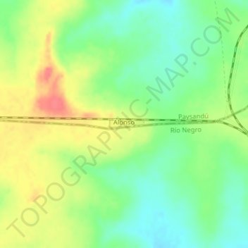
Alonso topographic map
Interactive map
Click on the map to display elevation.
About this map
Name: Alonso topographic map, elevation, terrain.
Location: Alonso, Paysandú, 60100, Uruguay (-32.39630 -56.73040 -32.39527 -56.72596)
Average elevation: 170 m
Minimum elevation: 144 m
Maximum elevation: 204 m