
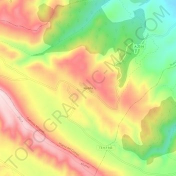
Rudilla topographic map
Interactive map
Click on the map to display elevation.
About this map
Name: Rudilla topographic map, elevation, terrain.
Location: Rudilla, Teruel, Aragón, 44212, España (40.98042 -1.03217 41.02042 -0.99217)
Average elevation: 1,179 m
Minimum elevation: 995 m
Maximum elevation: 1,345 m