
Huari topographic map
Interactive map
Click on the map to display elevation.
About this map
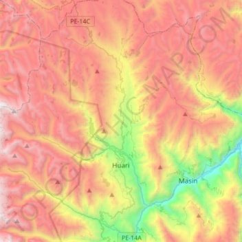
Name: Huari topographic map, elevation, terrain.
Location: Huari, Ancash, Peru (-9.43306 -77.33456 -9.16521 -77.14081)
Average elevation: 3,957 m
Minimum elevation: 2,416 m
Maximum elevation: 5,250 m