Shahr-e Kord topographic map
Interactive map
Click on the map to display elevation.
About this map
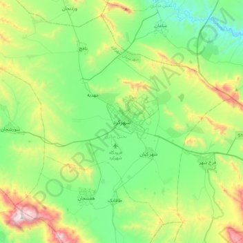
Name: Shahr-e Kord topographic map, elevation, terrain.
Average elevation: 2,210 m
Minimum elevation: 1,785 m
Maximum elevation: 3,313 m

Click on the map to display elevation.
Name: Shahr-e Kord topographic map, elevation, terrain.
Average elevation: 2,210 m
Minimum elevation: 1,785 m
Maximum elevation: 3,313 m