
Thank you for supporting this site ❤️
Make a donation
Make a donation
Mandala topographic map
Click on the map to display elevation.
Thank you for supporting this site ❤️
Make a donation
Make a donation
About this map
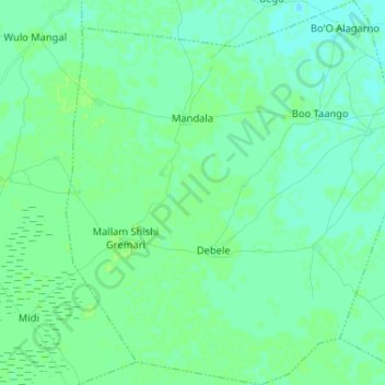
Name: Mandala topographic map, elevation, terrain.
Location: Mandala, Monguno, Borno, Nigeria (12.43695 13.56113 12.56339 13.67392)
Average elevation: 290 m
Minimum elevation: 286 m
Maximum elevation: 292 m
Thank you for supporting this site ❤️
Make a donation
Make a donation