
Thank you for supporting this site ❤️
Make a donation
Make a donation
Hogan topographic map
Click on the map to display elevation.
Thank you for supporting this site ❤️
Make a donation
Make a donation
About this map
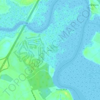
Name: Hogan topographic map, elevation, terrain.
Location: Hogan, Camden County, Georgia, United States (31.08769 -81.59603 31.12769 -81.55603)
Average elevation: 3 m
Minimum elevation: -1 m
Maximum elevation: 15 m
Thank you for supporting this site ❤️
Make a donation
Make a donation
Other topographic maps
Click on a map to view its topography, its elevation and its terrain.