
Emarèse topographic map
Interactive map
Click on the map to display elevation.
About this map
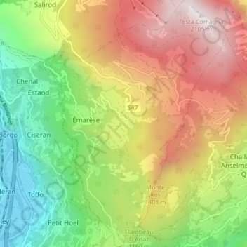
Name: Emarèse topographic map, elevation, terrain.
Location: Emarèse, Valle d'Aosta, Italia (45.69921 7.67832 45.74747 7.72920)
Average elevation: 1,151 m
Minimum elevation: 374 m
Maximum elevation: 2,092 m