
Leda topographic map
Interactive map
Click on the map to display elevation.
About this map
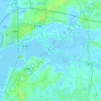
Name: Leda topographic map, elevation, terrain.
Location: Leda, Landkreis Leer, Lower Saxony, 26789, Germany (53.17744 7.42241 53.23137 7.67181)
Average elevation: 3 m
Minimum elevation: -5 m
Maximum elevation: 24 m