
Thank you for supporting this site ❤️
Make a donation
Make a donation
Gardez topographic map
Click on the map to display elevation.
Thank you for supporting this site ❤️
Make a donation
Make a donation
About this map
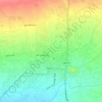
Name: Gardez topographic map, elevation, terrain.
Location: Gardez, Gardez District, Paktia Province, Afghanistan (33.58860 69.20172 33.61855 69.24022)
Average elevation: 2,321 m
Minimum elevation: 2,290 m
Maximum elevation: 2,363 m
Thank you for supporting this site ❤️
Make a donation
Make a donation