
Thuôn Khuổi Mười topographic map
Interactive map
Click on the map to display elevation.
About this map
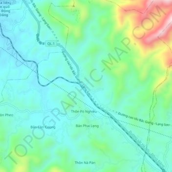
Name: Thuôn Khuổi Mười topographic map, elevation, terrain.
Location: Thuôn Khuổi Mười, Cao Lộc, Province de Lạng Sơn, Viêt Nam (21.90250 106.69833 21.94250 106.73833)
Average elevation: 346 m
Minimum elevation: 242 m
Maximum elevation: 674 m