
Raravi topographic map
Interactive map
Click on the map to display elevation.
About this map
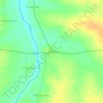
Name: Raravi topographic map, elevation, terrain.
Location: Raravi, Siruguppa taluku, Bellary district, Karnataka, India (15.60889 76.95899 15.64889 76.99899)
Average elevation: 366 m
Minimum elevation: 351 m
Maximum elevation: 382 m