
Soet topographic map
Interactive map
Click on the map to display elevation.
About this map
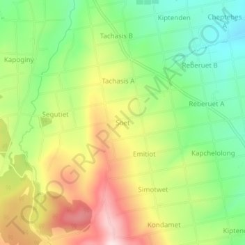
Name: Soet topographic map, elevation, terrain.
Location: Soet, Nakuru, Kenia (-0.45160 35.90098 -0.41160 35.94098)
Average elevation: 2,517 m
Minimum elevation: 2,350 m
Maximum elevation: 2,734 m
Other topographic maps
Click on a map to view its topography, its elevation and its terrain.