
Thank you for supporting this site ❤️
Make a donation
Make a donation
Chata topographic map
Click on the map to display elevation.
Thank you for supporting this site ❤️
Make a donation
Make a donation
About this map
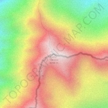
Name: Chata topographic map, elevation, terrain.
Location: Chata, Kazbegi Municipality, Mtskheta-Mtianeti, Georgia (42.75417 44.51390 42.75427 44.51400)
Average elevation: 3,463 m
Minimum elevation: 2,724 m
Maximum elevation: 4,079 m
Thank you for supporting this site ❤️
Make a donation
Make a donation