
Thank you for supporting this site ❤️
Make a donation
Make a donation
Cordovilla topographic map
Click on the map to display elevation.
Thank you for supporting this site ❤️
Make a donation
Make a donation
About this map
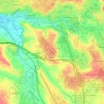
Name: Cordovilla topographic map, elevation, terrain.
Location: Cordovilla, Galar, Navarra, 31191, Spanien (42.76760 -1.66696 42.80760 -1.62696)
Average elevation: 441 m
Minimum elevation: 408 m
Maximum elevation: 471 m
Thank you for supporting this site ❤️
Make a donation
Make a donation