
ເມືອງໂພນທອງ topographic map
Interactive map
Click on the map to display elevation.
About this map
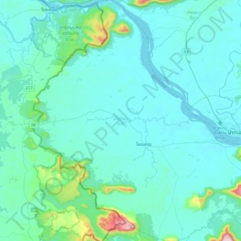
Name: ເມືອງໂພນທອງ topographic map, elevation, terrain.
Location: ເມືອງໂພນທອງ, ຈຳປາສັກ, Laos (14.94559 105.46654 15.33245 105.86200)
Average elevation: 157 m
Minimum elevation: 88 m
Maximum elevation: 827 m