
KOREN GUIDAN KADA topographic map
Interactive map
Click on the map to display elevation.
About this map
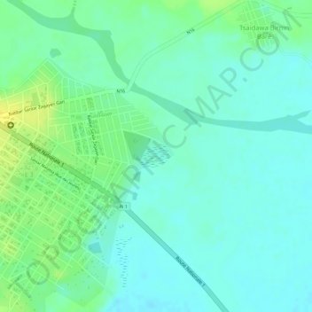
Name: KOREN GUIDAN KADA topographic map, elevation, terrain.
Location: KOREN GUIDAN KADA, Madaoua, Tahoua, Niger (14.07113 5.96783 14.07334 5.97043)
Average elevation: 320 m
Minimum elevation: 311 m
Maximum elevation: 334 m