
Rooth topographic map
Interactive map
Click on the map to display elevation.
About this map
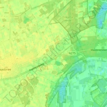
Name: Rooth topographic map, elevation, terrain.
Location: Rooth, Peel en Maas, Limburg, Nederland, 5993, Nederland (51.34455 6.05728 51.38455 6.09728)
Average elevation: 27 m
Minimum elevation: 16 m
Maximum elevation: 33 m