
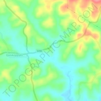
ಹೆಬ್ಬಾಲೆ topographic map
Interactive map
Click on the map to display elevation.
About this map
Name: ಹೆಬ್ಬಾಲೆ topographic map, elevation, terrain.
Location: ಹೆಬ್ಬಾಲೆ, Virajpet taluk, Kodagu, Karnataka, 571213, India (12.16539 75.92028 12.20539 75.96028)
Average elevation: 857 m
Minimum elevation: 825 m
Maximum elevation: 913 m