
Buddha topographic map
Interactive map
Click on the map to display elevation.
About this map
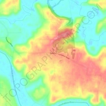
Name: Buddha topographic map, elevation, terrain.
Location: Buddha, Lawrence County, Indiana, United States of America (38.77200 -86.42666 38.81200 -86.38666)
Average elevation: 182 m
Minimum elevation: 146 m
Maximum elevation: 224 m