
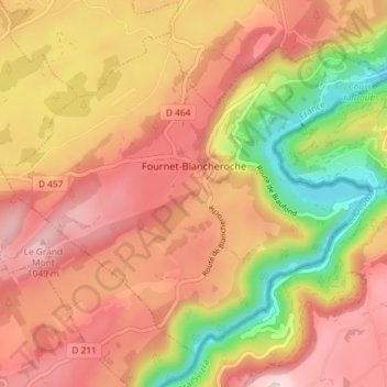
Fournet-Blancheroche topographic map
Interactive map
Click on the map to display elevation.
About this map
Name: Fournet-Blancheroche topographic map, elevation, terrain.
Average elevation: 872 m
Minimum elevation: 601 m
Maximum elevation: 1,067 m
Le Grand Mont culmine à 1 049 mètres d'altitude.