
Sud-Gare topographic map
Interactive map
Click on the map to display elevation.
About this map
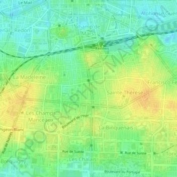
Name: Sud-Gare topographic map, elevation, terrain.
Average elevation: 39 m
Minimum elevation: 25 m
Maximum elevation: 53 m
Other topographic maps
Click on a map to view its topography, its elevation and its terrain.
Rennes
France > Bretagne > Ille-et-Vilaine > Rennes
Rennes, Ille-et-Vilaine, Bretagne, France métropolitaine, 35000, France
Average elevation: 63 m