
Hergenrath topographic map
Interactive map
Click on the map to display elevation.
About this map
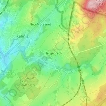
Name: Hergenrath topographic map, elevation, terrain.
Location: Hergenrath, Verviers, Lüttich, Wallonien, 4728, Belgien (50.68913 6.01169 50.72913 6.05169)
Average elevation: 236 m
Minimum elevation: 172 m
Maximum elevation: 352 m