
Senate topographic map
Interactive map
Click on the map to display elevation.
About this map
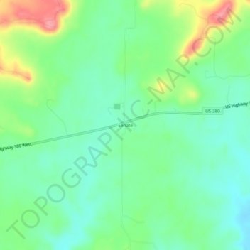
Name: Senate topographic map, elevation, terrain.
Location: Senate, Jack County, Texas, USA (33.15428 -98.31422 33.19428 -98.27422)
Average elevation: 378 m
Minimum elevation: 346 m
Maximum elevation: 444 m